Overview
CUBA Maps gives you an easy way to enrich your application with visual representation and intuitive manipulation for spatial data. It provides all required features to build a comprehensive geographical information system on CUBA.
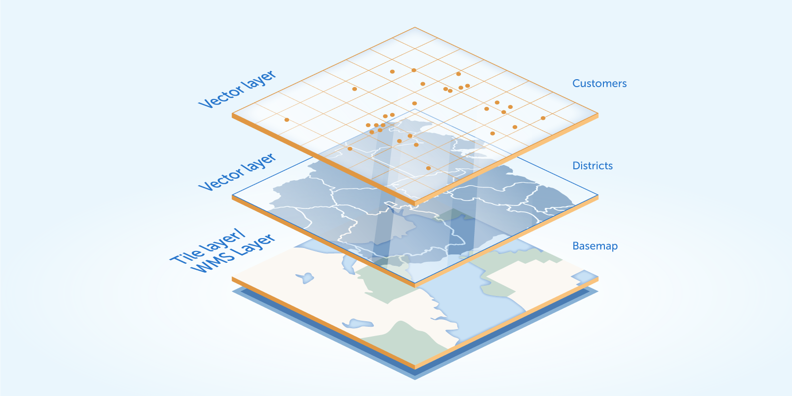
The add-on supports the traditional multi-layer structure, so it gives full freedom to create well-structured maps of any content.
Features
- Integrates spatial types (point, polyline, polygon) from Java Topology Suite - the most popular Java library for working with spatial data.
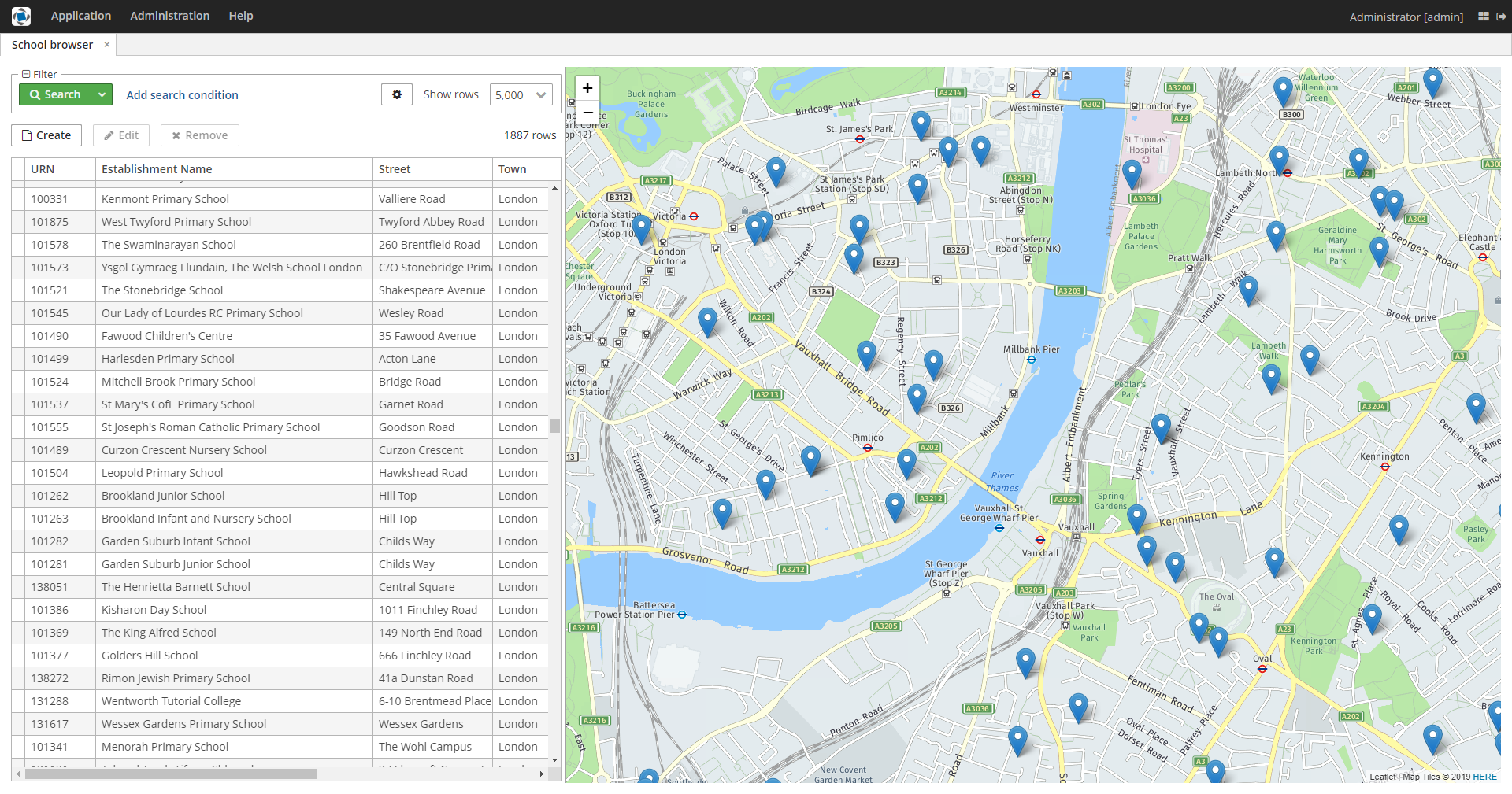
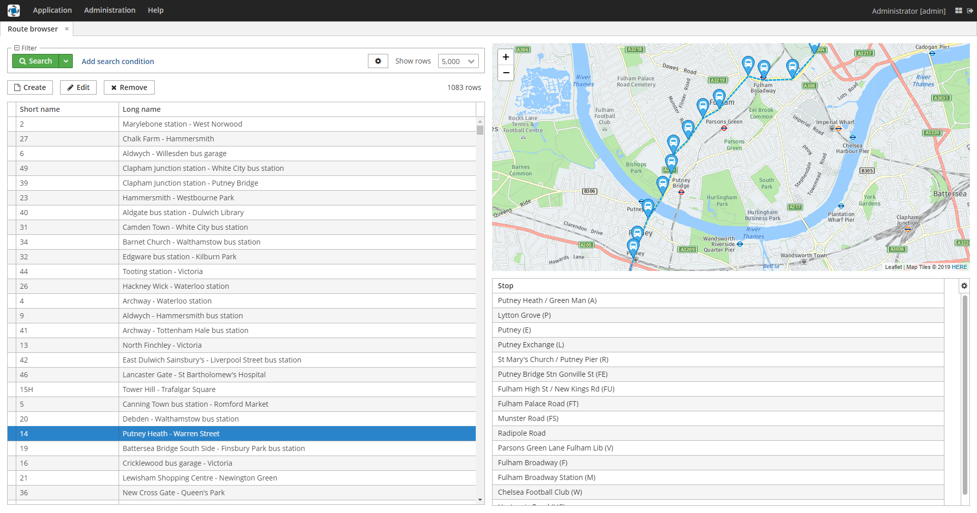
- Introduces a visual component for Generic UI with rich and clear API.
- Supports drawing and interactive editing of geo-entities - entities with geometry attributes.
- Compatible with the Web Map Service protocol as well as XYZ tile services.
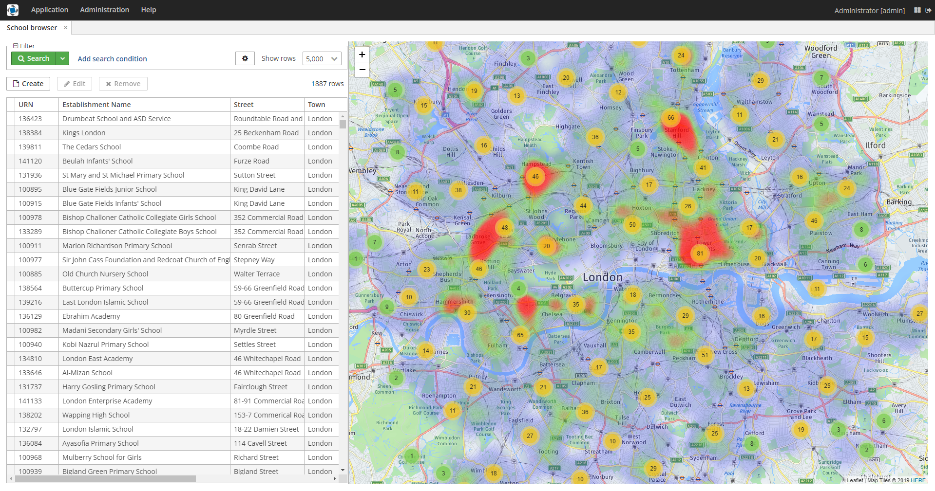
- Provides features for geoanalysis: heatmaps and clustering.
- Has no runtime licensing.
Installation
Please note that to install the add-on you must have the Maps add-on subscription.
Follow the documentation for installation instructions.
License
The add-on is licensed per company and includes:
- Unlimited number of developers, servers, and projects.
- Access to the source code repository.
- The right to distribute the add-on as part of your applications without restrictions.
- All upgrades during the subscription period.
- The right to continue using previously downloaded versions after subscription expiry.
The pricing is reduced for individual developers. You can use Individual pricing if you are developing a project on your own (e.g. as a freelancer) and you are paying for Studio with personal funds. Individuals can acquire only one license key per account.


